Governments and Agencies
Supporting the management of marine and coastal assets through improved data management
OceanWise helps governments and agencies responsible for offshore and coastal assets deliver a modernised approach to data and information management to ensure their operations and projects are:
- Safer and more resilient, with deeper insight and improved decision-making
- Easier to manage, with modern and efficient tools
- Less costly, with best practices and streamlined processes
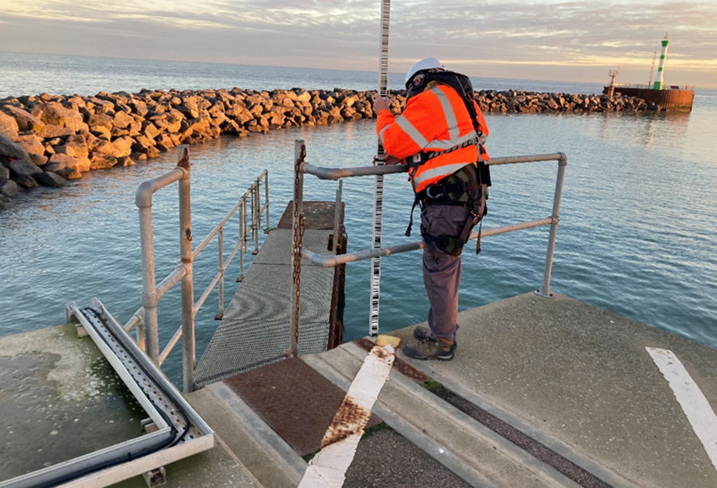
“In addition to maintaining this critical infrastructure (the National Tide Gauge Network), OceanWise are contributing to the design and development of the system that will underpin the future of coastal flood forecasting”. Mike Osborne
Our products and services include:
Our clients include:
Marine and Coastal Mapping
We deliver background mapping and spatial data compatible with all standard GIS Systems. Easily integrated, our Intelligent Marine and Coastal Mapping Data and Web Map Services provide you with data that is fit for purpose, in the right format, accurate and up to date.
For data originators and owners, we can help with the processing, management, marketing and distribution of your data.
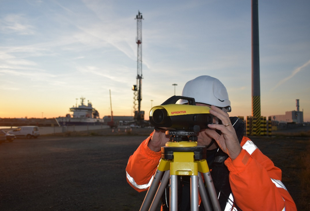
Environmental Monitoring
Our Environmental Monitoring services combine sensors, smart telemetry and display systems to help you monitor the environment and share weather, tidal and other data easily and efficiently to those who need it, when they need it.
- Maintaining and Updating the UK’s National Tide Gauge Network
- UKHO Contract OceanWise to deliver Marine Environmental Monitoring Systems
Compliance
We provide Data Management Training and Consultancy to improve your data management skills and support the development of data policies, standards strategy and systems.
We also provide a range of software applications to help you implement, automate and modernise common tasks – such as tracking and maintaining assets.