Spatial Data Management & GIS
Realise the full benefits of using Geographic Information Systems
Everything happens somewhere! Spatial data, also known as geospatial data, is data related to, or containing information about, a specific location.
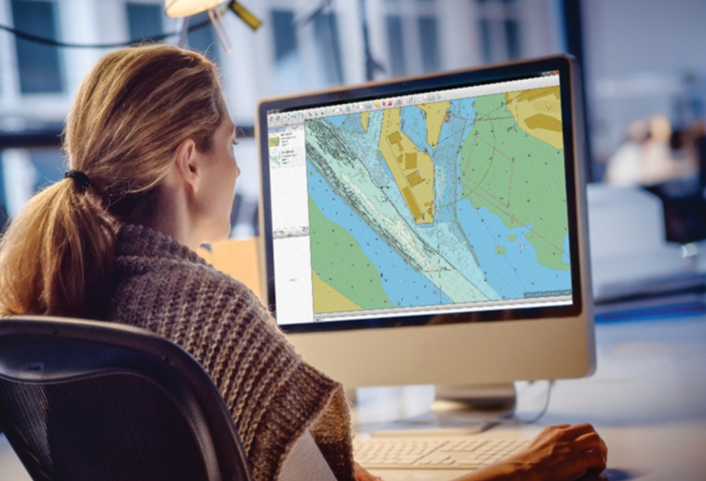
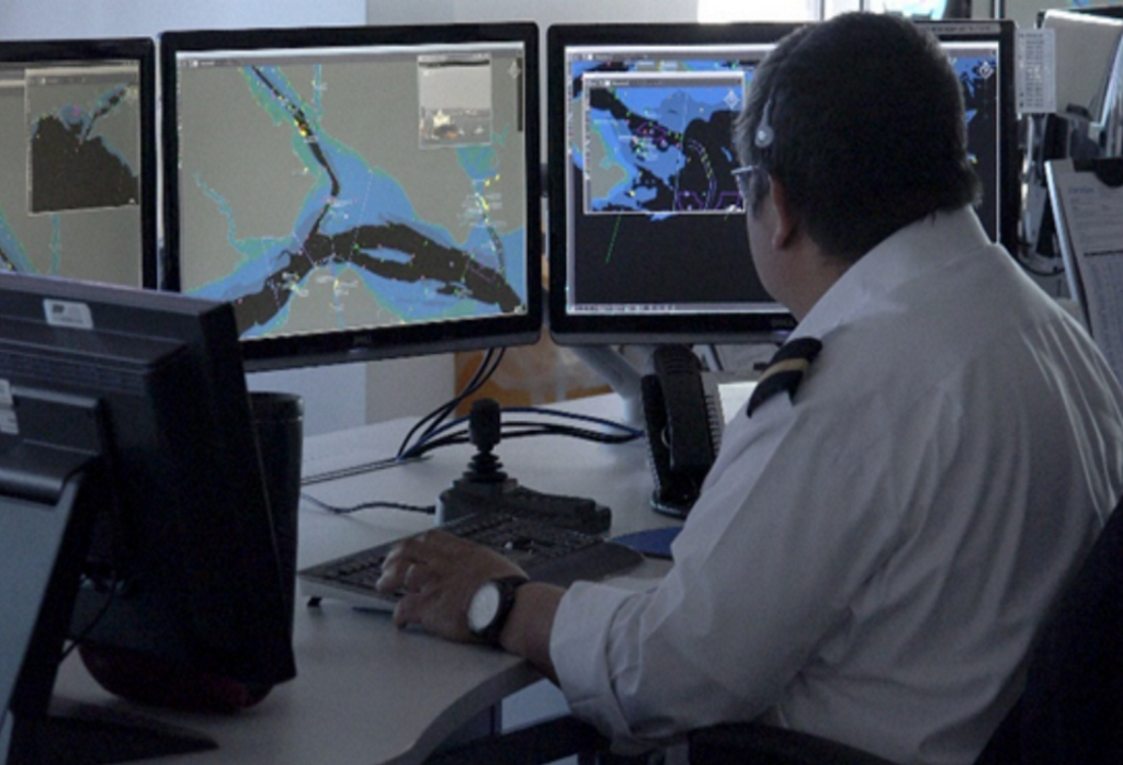
A Geographic Information System (GIS) integrates hardware, software, and data for capturing, managing, analysing, and displaying all forms of geographically referenced information
Our unique experience in the marine domain, expertise in marine data and marine GIS means that we are perfectly placed to help you realise the full benefits of using GIS whether it be it open source like QGIS, or using a commercial software programme like Cadcorp.
As our training and mentoring is specifically tailored to those working in the marine environment and its challenges, we can help you apply GIS to manage and manipulate your land, marine and environmental data while implementing best practice.
Marine Mapping Services
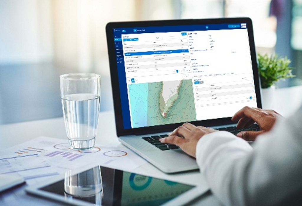
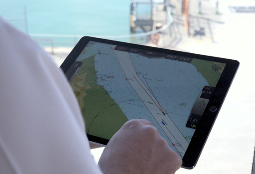
If you don’t have access to a GIS we can create mapping outputs for your specific need, such as ENCs or other maps for critical projects or operations. We will build the outputs and if at any point you decide to take GIS in-house, the data can be easily transferred.
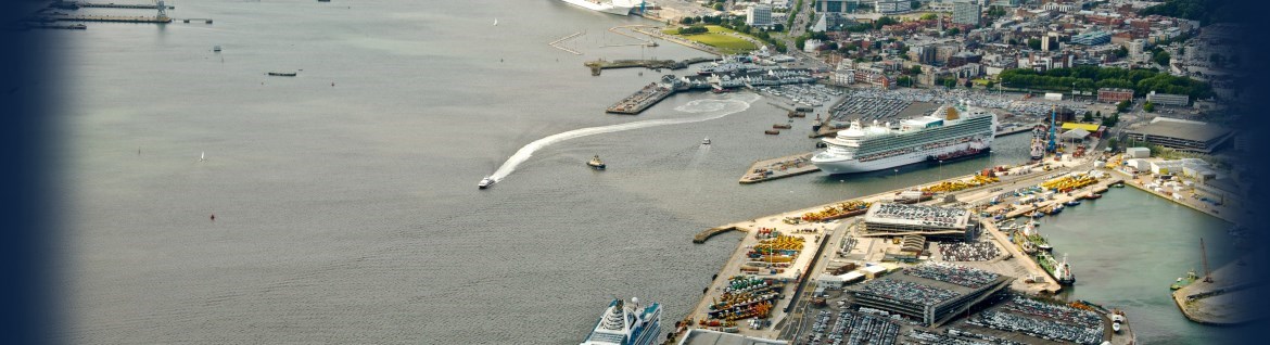
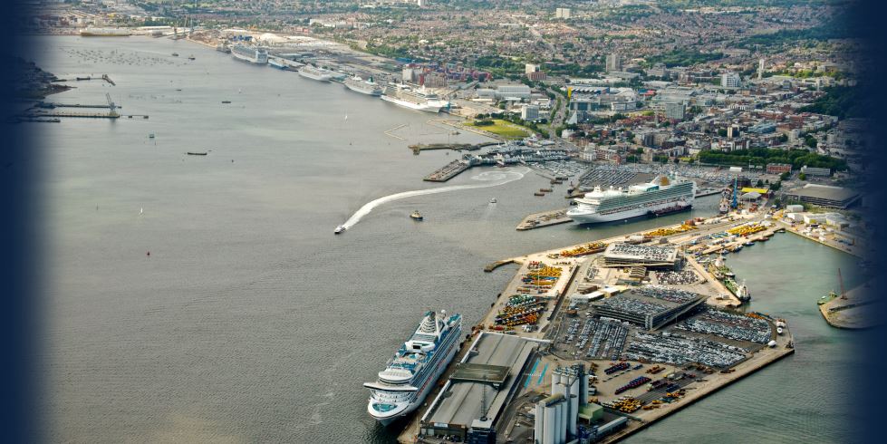
We deliver ENCs for ports where standard navigational charts may not provide the crucial navigational detail necessary for planning and decision-making during passage. We can take your high-resolution bathymetry, accurate land mapping data and central source of Aids to Navigation to create a Port ENC – a higher resolution equivalent of a standard Hydrographic Office published ENC. These are provided in formats that can be easily uploaded into Portable Pilot Units, or other key systems, such as VTS.
Compliance
GIS provides the user with a picture – which enables quick situational awareness and therefore supports decision making and compliance. For example, a layer of access points added to a map can assist with emergency response in the case of an incident; linking survey records to a map of survey areas can support the prioritisation of planned surveys.
We provide applications, advice and training to improve data management and ensure compliance:
GIS Training and Mentoring
Most GIS software and off the shelf training courses are developed and targeted towards managing terrestrial assets. We target our training to those working in the marine environment. As marine data experts, we have worked with various GIS platforms, specifically Esri, Cadcorp, MapInfo and QGIS. We can help you apply these systems to manage and manipulate marine and environmental data while implementing best practice.
GIS In Ports Series
We are launching a new GIS in Ports series which kicks off with an insightful article by our Managing Director Caroline Levey “An introduction to GIS”.
The series will be rolled out over 2024 and intends to lift the lid on GIS, digging deeper by bringing you 5 Port Profiles where you hear from the GIS experts in that Port on what and how they are using it and what their top tips are.
Whilst we will be hosting this series it is very much intended to be an independent overview and bring insight by Ports and Harbours, for the benefit of other Ports and harbours.
- An Introduction to GIS
- Port Profiles – Working with GIS
- A guide to GIS for Ports and Harbours
- OceanWise webinar