Oceanwise Logo
LinkedIn Logo Twitter Logo
Log into Port-Log.net
Contact Page
+44 (0) 1420 768262
    • Home
    • About
      • About Us
      • News & Views
      • Events
      • Newsletters
      • Partners
      • Customer Case Studies
      • Professional Bodies
      • Our Team
      • Our Sustainability and Environmental Goals
      • Careers
      • Contact Us
    • Sectors
      • Overview
      • Ports and Harbours
      • Maritime Pilotage
      • Offshore Renewables
      • Governments and Agencies
      • Customer Case Studies
      • Data as Infrastructure
    • Compliance
      • Compliance Overview
      • Marine Data Management
      • Asset Management System (AMS)
      • Aids to Navigation Management System
      • Conservancy Management
      • Spatial Data Management & GIS
      • Environmental Monitoring
      • Our Courses
    • Monitoring
      • Overview
      • Monitoring System Builder
      • Data Management and Display
      • Port-Log
      • Consultancy and Advice
      • Design and Integration
      • Installation and Maintenance
      • Environmental Conditions
    • Mapping
      • Overview
      • Marine Themes Vector
      • Marine Themes DEM
      • ENC Web Map Service
      • Raster Charts
      • Mapping Support
    • Training
      • Our Courses
      • Data Management
      • Data Management for Ports
      • Data Management, Governance and MEDIN toolset
      • Introduction to Change Management
      • Capacity Building
      • Technical Training
      • Product Training
      • Our Workshops
    • Partners
      • Overview
      • Become a Partner
      • Find a Partner
      • The OceanWise Resource Hub
    • Support
      • Resources
      • Portal
      • Support
      • Glossary of Terms
      • Contact Us
      • Terms and Conditions
banner
Marine mapping data that is fit for purpose, in the right format, accurate and up to date

Marine mapping data that is fit for purpose, in the right format, accurate and up to date

Intelligent marine and coastal mapping data

Marine mapping data that is fit for purpose, in the right format, accurate and up to date

Marine mapping data that is fit for purpose, in the right format, accurate and up to date

Intelligent marine and coastal mapping data

Learn More

    Poor data management can put your operations at risk. Read our top tips to achieving marine data management success now.

    By completing this form, you consent to receive marketing and our newsletter emails from OceanWise. To opt out, please email info@oceanwise.eu, or click "unsubscribe" on the email you receive from us. We will not share your contact details with any third party.

Marine Themes Vector

OceanWise > Mapping Data Overview > Marine Themes Vector
Comprehensive, flexible and intelligent marine mapping for manipulation and analysis

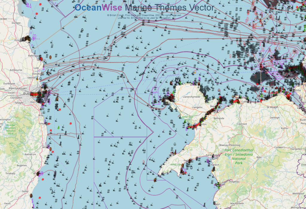
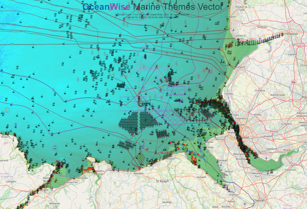
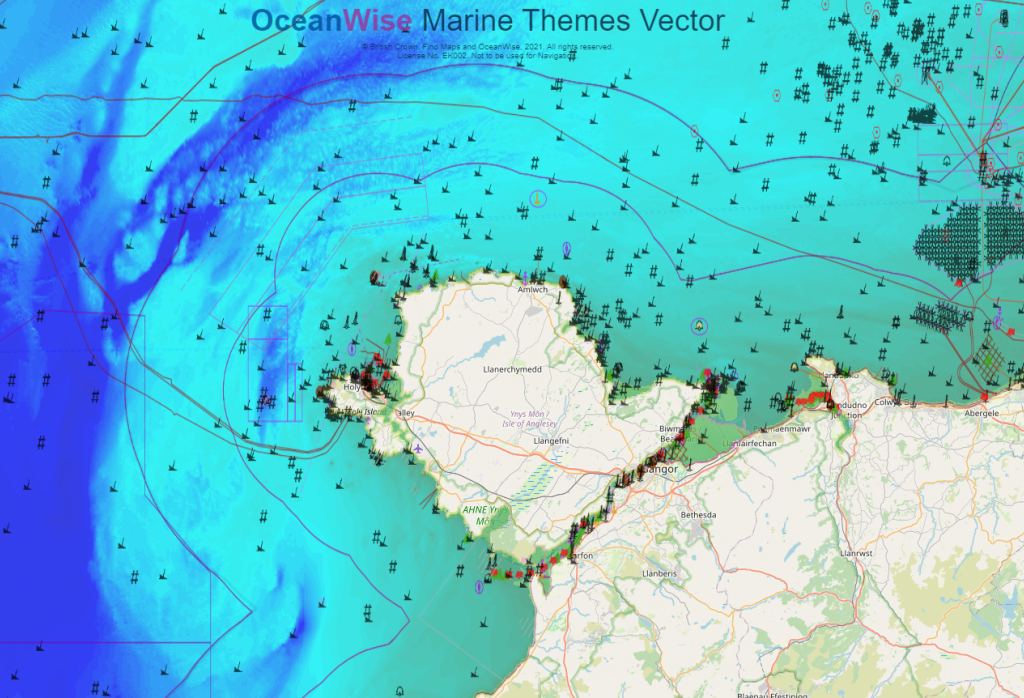
Marine Themes Vector is our intelligent dataset, engineered into logical data layers for easy loading and efficient use in desktop and web-based Geographic Information Systems (GIS).

Data attributes have been designed with analysis and querying in mind. Chart boundaries have been removed to create a seamless, simplified dataset across charts. This dataset is available in GIS compatible file formats or as a data service from our Licensed Partners. The data is derived from authoritative material obtained from the UK, and other, Hydrographic Offices, as well as comprehensive source data where available.


Read more

Marine geographical features are grouped according to type as follows:
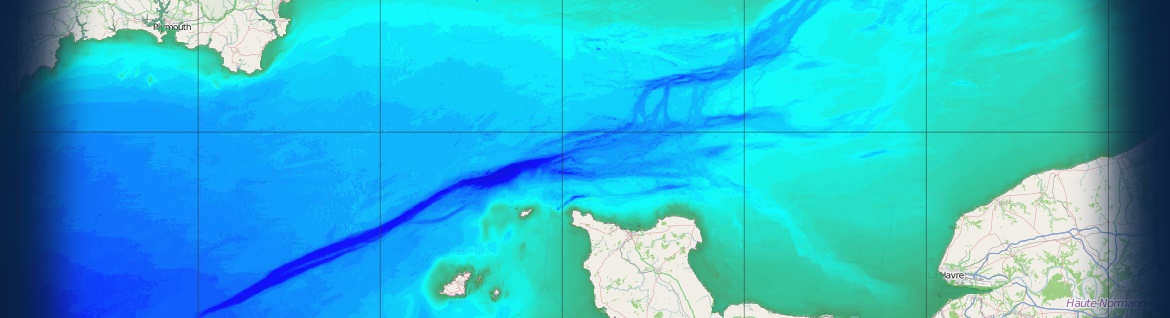
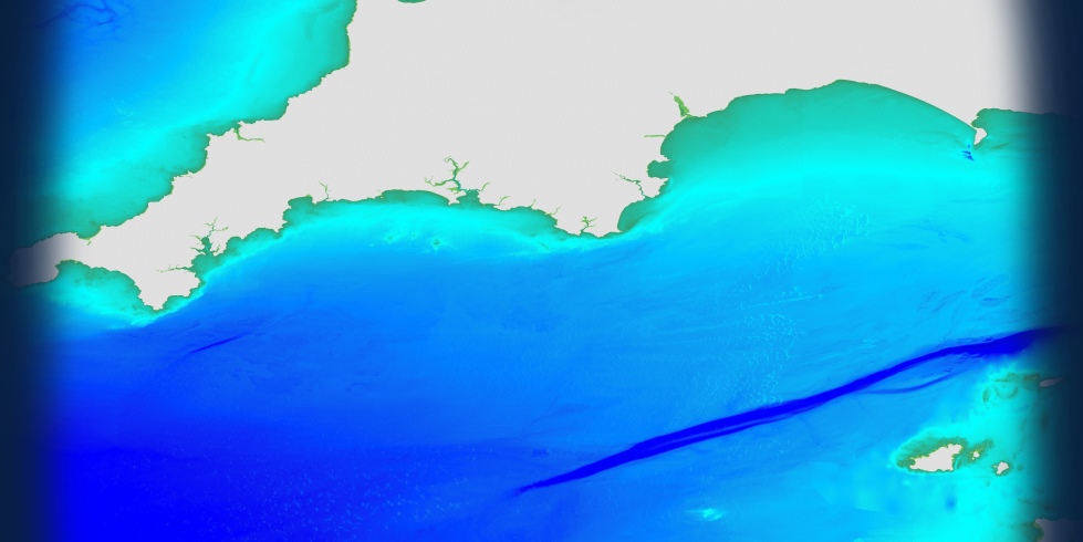
  • Elevation
  • Shipwrecks and Obstructions
  • Industrial Facilities
  • Transport
  • Administrative and Management Units
  • Geographical Regions

These data layers provide a comprehensive marine map and are ideal for applications where the user needs to choose, analyse or derive the features, based on data type or attribute, to be displayed.

Suitable symbology is provided as standard (e.g. Esri Layer, Cadcorp NOL files) so the data is ready for immediate use in GIS.

To learn more about data content, check out our comprehensive Feature Catalogue or Request our Sample Data, that includes our Marine & Coastal Data Products User Guide.

How to buy?

Commercial customers can purchase Marine Themes Vector and our other mapping products via our Licensed Partners. We have a network of Licensed Partners who resell our data products. See our Find A Partner page or click on any of our mapping partners below to be redirected to their website.


Read more

If you are still not sure which dataset is best for your needs, please refer to our Data Buying Guide, contact us or see our Data FAQs for more assistance.

Suitable symbology is provided as standard (e.g. Esri Layer, Cadcorp NOL files) so the data is ready for immediate use in GIS. Take a look at our demonstration website or download our sample data.

Click on below logos

emapsite
Find_Maps
Europa_Technologies

DigiMap_Jersey
DigiMap_Guernsey

Request Sample Data

Get a free download of sample mapping data along with our Marine & Coastal Data Products User Guide

Download Now

Suitable symbology is provided as standard (e.g. Esri Layer, Cadcorp NOL files) so the data is ready for immediate use in GIS. Take a look at our demonstration website or download our sample data.

If you are still not sure which dataset is best for your needs, please refer to our Data Buying Guide or see our Data FAQs for more assistance.

Learn More

  • OceanWise Mapping Demo
  • Mapping Data Overview
  • Mapping Data FAQs
  • Find a Partner
  • Mapping Data Buying Guide
  • Mapping Products User Guide
  • What Is Your Data Challenge?

Isle of Man Government

Thank you again for the ongoing licensing agreement, it’s been vital to our marine work

Rob Clynes - Cartographer

SeaRoc

OceanWise remove all the effort by producing a complete data set that we require. It gives us accurate location and situational awareness in an easy to use format

Amanda Forbes - GIS Analyst and Developer

Lloyd's Register

Other suppliers may have the raw data but they haven't solved the big problem of joining all those hydrographic charts together - that's the value of the OceanWise product

Sam Franklin - IRIS & Web Services Product Manager

Welsh Government

The Welsh Government is required, as part of its Marine Plan, to present accurate marine mapping data that is available and understandable to anyone who needs it. OceanWise has worked closely with us to develop this service.

Phil Coates - Marine Plan Implementation and Evidence Manager

Why OceanWise?

We are proud to be: Independent. Experienced. Innovative. International. Trusted.

ISO 9001ISO 14001ISO 45001cyberessentials certification

© OceanWise 2023. OceanWise Limited is an independent company specialising in marine environmental data acquisition, management, publishing and GIS.
Registrar of Companies of England and Wales No. 7206926 and Companies Registration Office Ireland No. 641571.

Terms & Conditions | Privacy Notice | Contact Us

OceanWise HelpBot

Still need help?