Mapping Data Overview
Intelligent Marine and Coastal Mapping Data
When you need mapping data that is fit for purpose, in the right format, accurate and up to date
Our intelligent marine and coastal mapping data are designed to be compatible with all leading desktop and web-based Geographical Information Systems (GIS). They are quick and easy to use in planning, engineering, asset management, operations, regulation and a multitude of other applications.
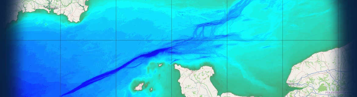
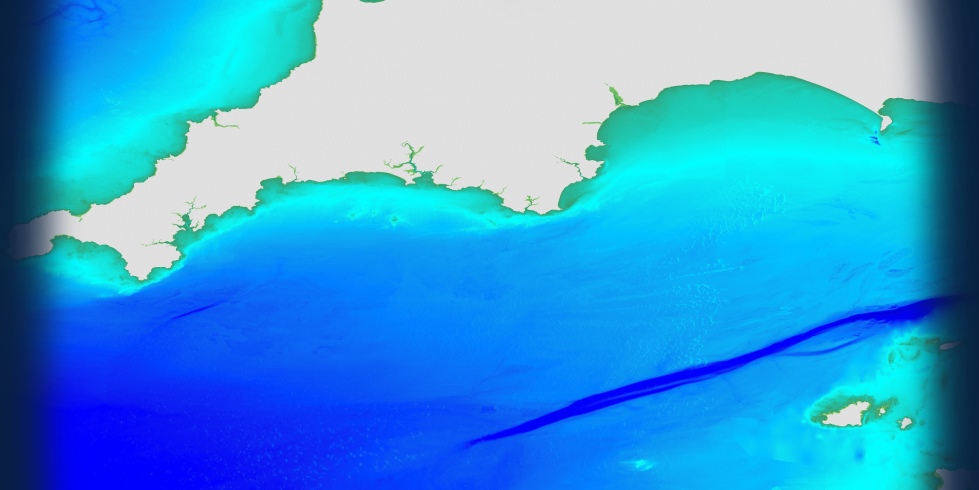
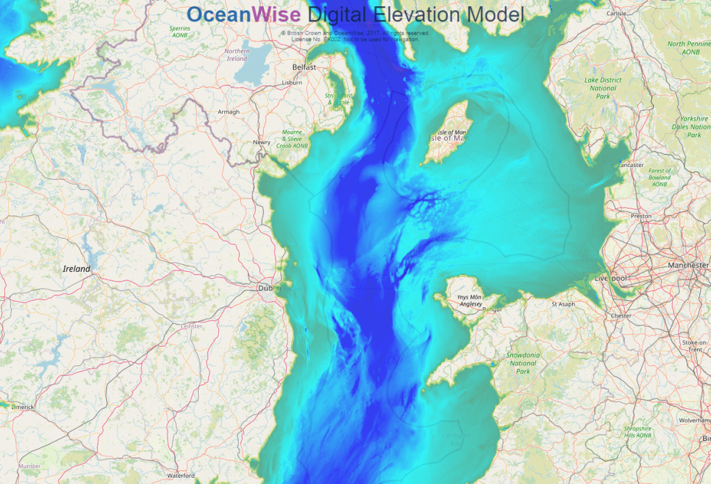
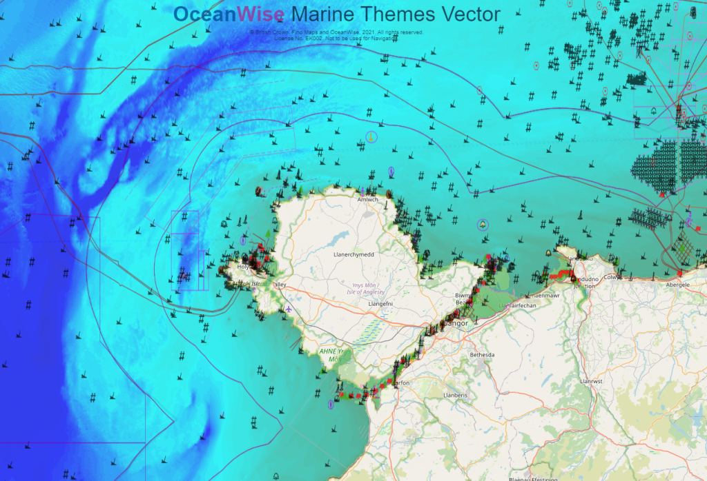
OceanWise personnel have been sourcing and re-purposing marine mapping data from national hydrographic offices and other authorities for use in GIS for over 20 years. This experience, and two decades of development, has culminated in our flagship Marine Themes Vector and Marine Themes Digital Elevation Model data products.
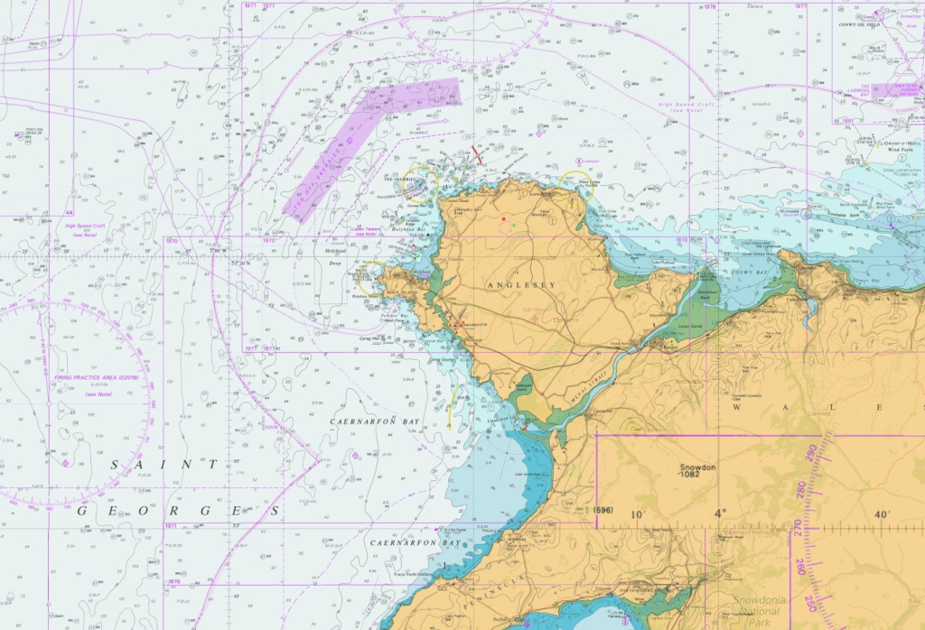
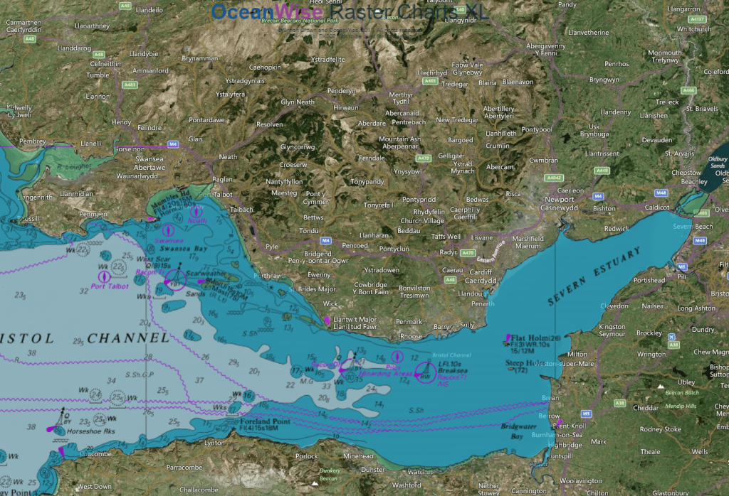
We also provide Nautical Chart-based data products in Raster Charts, the innovative Raster Charts XL (eXcluding Land) and ENC Web Map Services for those users requiring a more traditional and familiar navigational background.
Read our full mapping journey here
Don’t put your operations or projects at risk by using the wrong data. By coming to us, the marine data experts, you will enjoy the confidence of having the right data and means of delivery for your needs.
Need help deciding which product meets your needs? Use our Mapping Data Buying Guide.
Read about how our data is satisfying a wide range of users in our Data Case Studies from Lloyd’s Register and SeaRoc Group. If you are a data originator or provider, and are looking for new and innovative ways to publish, share, enhance or sell your data, visit the Data Originators and Providers page.

Our mapping data products are available as datasets in a variety of GIS compatible formats or as OGC compliant Web Mapping Services, as follows:
| Mapping Data Product | Dataset | Data Service |
| Marine Themes Vector | Yes | Yes |
| Marine Themes Digital Elevation Model | Yes | Yes |
| Raster Charts | Yes | No |
| Raster Charts XL | Yes | Yes |
| ENC Web Map Service | No | Yes |
| RCXL Oceans | No | Yes |