Oceanwise Logo
LinkedIn Logo Twitter Logo
Log into Port-Log.net
Contact Page
+44 (0) 1420 768262
    • Home
    • About
      • About Us
      • News & Views
      • Events
      • Newsletters
      • Partners
      • Customer Case Studies
      • Professional Bodies
      • Our Team
      • Our Sustainability and Environmental Goals
      • Careers
      • Contact Us
    • Sectors
      • Overview
      • Ports and Harbours
      • Maritime Pilotage
      • Offshore Renewables
      • Governments and Agencies
      • Customer Case Studies
      • Data as Infrastructure
    • Compliance
      • Compliance Overview
      • Marine Data Management
      • Asset Management System (AMS)
      • Aids to Navigation Management System
      • Conservancy Management
      • Spatial Data Management & GIS
      • Environmental Monitoring
      • Our Courses
    • Monitoring
      • Overview
      • Monitoring System Builder
      • Data Management and Display
      • Port-Log
      • Consultancy and Advice
      • Design and Integration
      • Installation and Maintenance
      • Environmental Conditions
    • Mapping
      • Overview
      • Marine Themes Vector
      • Marine Themes DEM
      • ENC Web Map Service
      • Raster Charts
      • Mapping Support
    • Training
      • Our Courses
      • Data Management
      • Data Management for Ports
      • Data Management, Governance and MEDIN toolset
      • Introduction to Change Management
      • Capacity Building
      • Technical Training
      • Product Training
      • Our Workshops
    • Partners
      • Overview
      • Become a Partner
      • Find a Partner
      • The OceanWise Resource Hub
    • Support
      • Resources
      • Downloads
      • Portal
      • Support
      • Glossary of Terms
      • Contact Us
      • Terms and Conditions
banner
Training from the marine data experts on data management, policy, strategy and systems

Training from the marine data experts on data management, policy, strategy and systems

Training, consultancy and advice on marine data management

Training from the marine data experts on data management, policy, strategy and systems

Training from the marine data experts on data management, policy, strategy and systems

Training, consultancy and advice on marine data management

Learn More

    Poor data management can put your operations at risk. Read our top tips to achieving marine data management success now.

    By completing this form, you consent to receive marketing and our newsletter emails from OceanWise. To opt out, please email info@oceanwise.eu, or click "unsubscribe" on the email you receive from us. We will not share your contact details with any third party.

Cadcorp GIS (Technical Training)

OceanWise > Training Overview > Cadcorp GIS (Technical Training)
Technical Cadcorp GIS Training for Marine Professionals

Who is it for? What will I learn?

We are a licensed distributor for Cadcorp GIS and are experts at using it to manipulate marine data. Most GIS software training is developed and targeted towards managing terrestrial assets. As our training and mentoring is specifically for those working in the marine environment and its specific challenges, we can help you apply Cadcorp GIS to manage and manipulate marine and environmental data while implementing best practice.


Read more

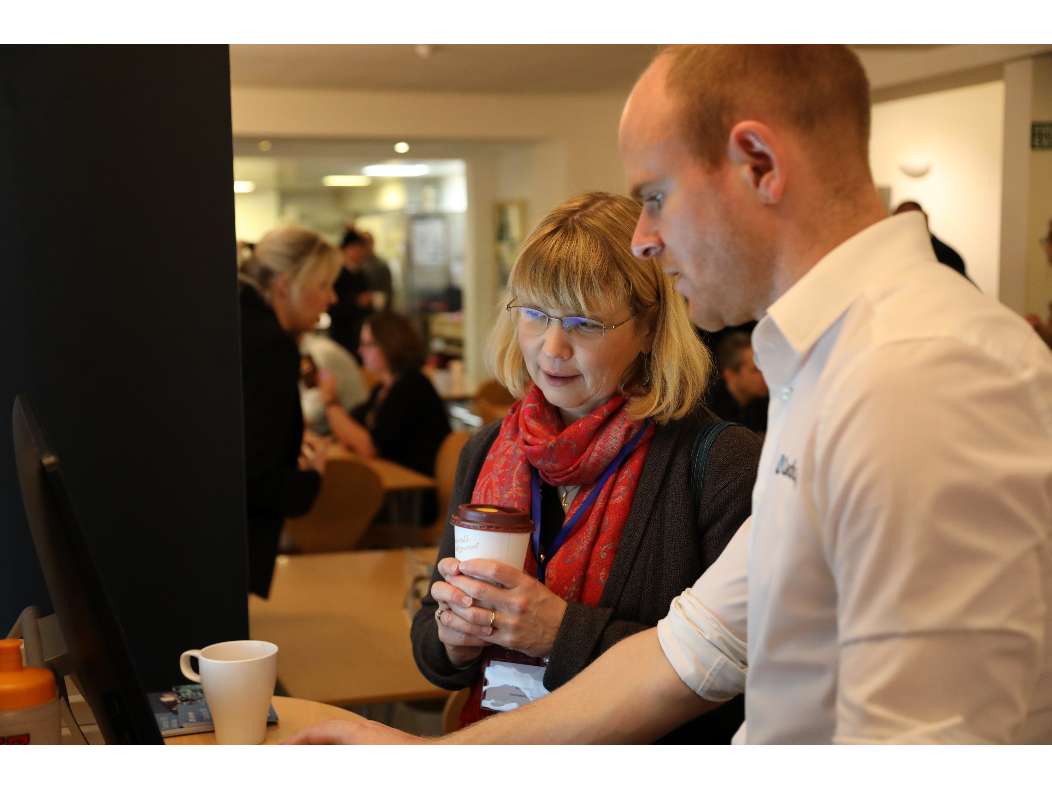
Our GIS trainer is an experienced marine user and can talk to you with an understanding about specific issues faced in the marine environment – be it shoal bias or complex coordinate reference systems. We use marine data examples and exercises so you use data familiar to your environment.

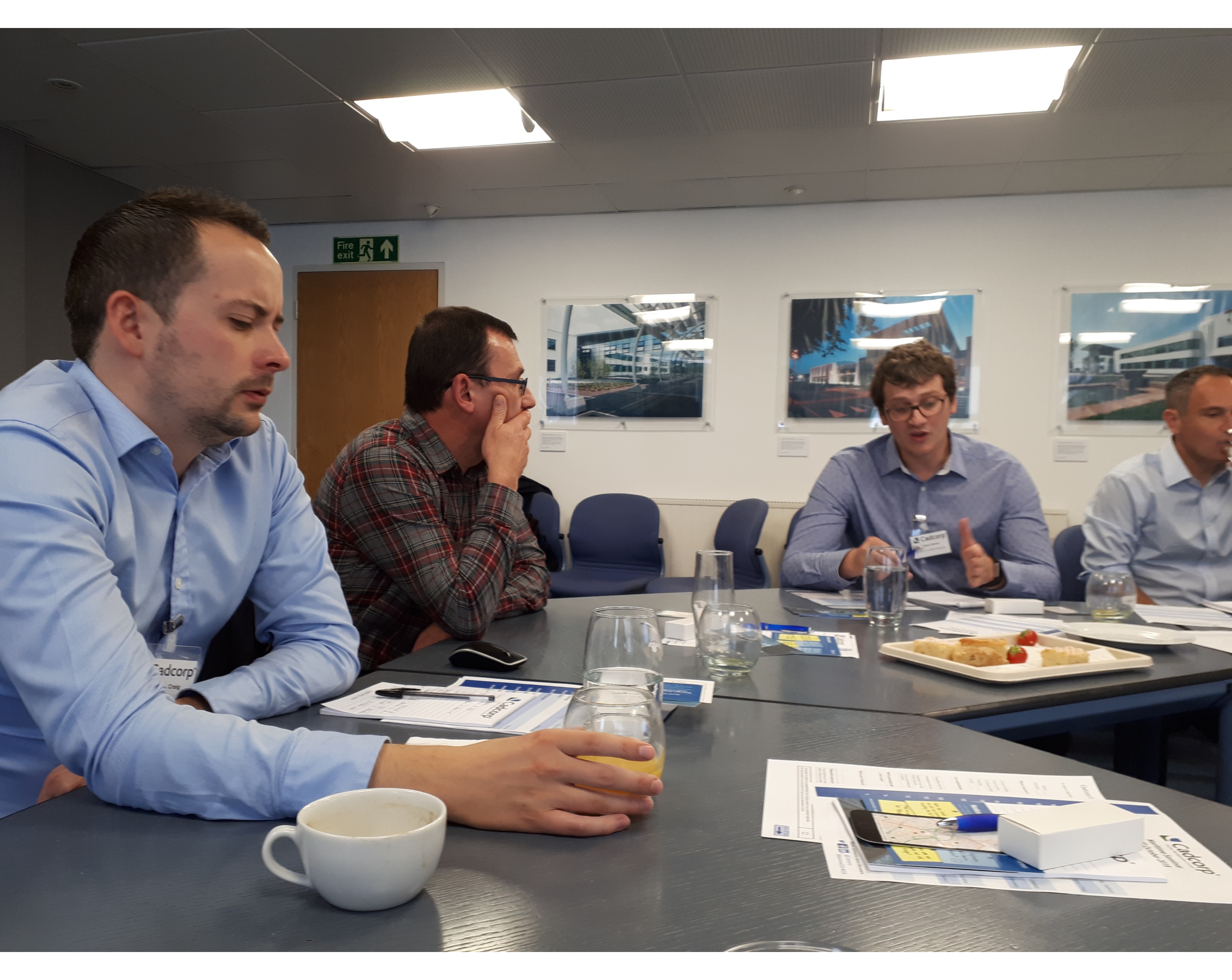
Our standard courses always allow some time for specific user interaction to ensure the questions you have are answered. Alternatively we can provide customised training programmes which are specific to your needs.

Our Courses:

  • Introduction to GIS using Cadcorp SIS – 2-day technical training course introducing the concept of Cadcorp GIS using marine specific examples. Provides both lecture based training and practical exercises. Usually this is run on-site but we can also run these centrally at our Alton office.
  • Advanced Cadcorp GIS – 2-day technical training course extends the use and knowledge of GIS to look at specific topics in detail. Training is customised by selecting the modules that are relevant to your use of data. Modules include Data Analysis, Using Databases, Data Editing and Topology.

When is it held?

We run our Cadcorp GIS training throughout the year. These are usually run in house (at a venue of the clients choice) OR at our Alton Office. Contact Us for availability.

What are the costs?

£1800 (£900 + VAT per tutor, per day) for up to 6 people + travel expenses.

How do I book

Contact us on info@oceanwise.eu or +44 (0) 1420 768262

Contact Us

Contact us and we’d be happy to discuss your needs related to improving data management in your organisation.

Contact Us

Learn More

  • Our Courses
  • Introduction to Data Management (Marine)
  • Data Management and Marine Spatial Data Infrastructure (SDI) OR “Capacity Building” Courses
  • OceanWise Product Training
  • Our Workshops
  • Training, Capacity Building and Mentoring Brochure
  • Introduction to GIS using Cadcorp SIS 8

ABPMer

Well delivered course very informative

Oliver Ringwood

Oil Spill Response

Well presented course, at the right level and interactive

James Pringle

Why OceanWise?

We are proud to be: Independent. Experienced. Innovative. International. Trusted.

ISO 9001ISO 14001ISO 45001cyberessentials certification

© OceanWise 2023. OceanWise Limited is an independent company specialising in marine environmental data acquisition, management, publishing and GIS.
Registrar of Companies of England and Wales No. 7206926 and Companies Registration Office Ireland No. 641571.

Terms & Conditions | Privacy Notice | Contact Us

OceanWise HelpBot

Still need help?