Oceanwise Logo
LinkedIn Logo Twitter Logo
Log into Port-Log.net
Contact Page
+44 (0) 1420 768262
    • Home
    • About
      • About Us
      • News & Views
      • Events
      • Newsletters
      • Partners
      • Customer Case Studies
      • Professional Bodies
      • Our Team
      • Our Sustainability and Environmental Goals
      • Careers
      • Contact Us
    • Sectors
      • Overview
      • Ports and Harbours
      • Maritime Pilotage
      • Offshore Renewables
      • Governments and Agencies
      • Customer Case Studies
      • Data as Infrastructure
    • Compliance
      • Compliance Overview
      • Marine Data Management
      • Asset Management System (AMS)
      • Aids to Navigation Management System
      • Conservancy Management
      • Spatial Data Management & GIS
      • Environmental Monitoring
      • Our Courses
    • Monitoring
      • Overview
      • Monitoring System Builder
      • Data Management and Display
      • Port-Log
      • Consultancy and Advice
      • Design and Integration
      • Installation and Maintenance
      • Environmental Conditions
    • Mapping
      • Overview
      • Marine Themes Vector
      • Marine Themes DEM
      • ENC Web Map Service
      • Raster Charts
      • Mapping Support
    • Training
      • Our Courses
      • Data Management
      • Data Management for Ports
      • Data Management, Governance and MEDIN toolset
      • Introduction to Change Management
      • Capacity Building
      • Technical Training
      • Product Training
      • Our Workshops
    • Partners
      • Overview
      • Become a Partner
      • Find a Partner
      • The OceanWise Resource Hub
    • Support
      • Resources
      • Portal
      • Support
      • Glossary of Terms
      • Contact Us
      • Terms and Conditions
banner
Simplify your approach and improve decision making and data management

Simplify your approach and improve decision making and data management

Tools to manage data and assets, provide spatial awareness, and streamline processes

Simplify your approach and improve decision making and data management

Simplify your approach and improve decision making and data management

Tools to manage data and assets, provide spatial awareness, and streamline processes

Marine Data Management

OceanWise > Compliance Overview > Marine Data Management
Supporting the marine industry and marine professionals world-wide with the development and understanding of data management

If you need help, training or advice on data management and you work in or around the marine environment, then OceanWise can help.

What is Data Management?

“It is the development, execution and supervision of plans, policies, programmes and practices that control, protect, deliver and enhance the value of data and information assets.”

Data is now considered to be the second most valuable asset an organisation possesses after its employees. With data volumes multiplying every few months, it is critically important that organisations value and manage this asset through its life-cycle including its collection, quality assurance, quality, ingestion, curation, archiving and use.

Data Management Training

We offer a wide range of training courses, consultancy and advice to help organisations or individuals improve their data management. Choose from one of our courses or contact us to arrange a free no obligation consultation.


Capacity Training and MSDI

We have developed a range of courses specifically for the International Hydrographic Organisation’s (IHO) Worldwide Capacity Building Programme. These courses provide vital training to Regional Hydrographic Commission (RHC) members on the subjects of Data Management, Database Design as well as developing Marine Spatial Data Infrastructures (MSDI).

  • What is a Marine Spatial Data (or Marine Information) Infrastructure or ‘MSDI’?
  • What is a Maritime Information Infrastructure (MII)?

Read more here on data as infrastructure and MSDI


Metadata

Metadata or ‘data about data’ is an essential element for any data publishing or exchange. It provides important additional information about a (data) resource, to enable the resource to be better accessed, understood and used.

MEDIN and OceanWise provide training courses which covers Metadata, data governance and the MEDIN toolset. See below for some useful links:

  • OceanWise Training courses
  • Data Management, Governance and MEDIN toolset
  • 10 Steps to Achieving Data Management Success
  • Data as Infrastructure
  • Dama (The Global Data Management Community)
  • MEDIN (Marine Environmental Data and Information Network)

Data as Infrastructure & Marine Spatial Data Infrastructure (MSDI)

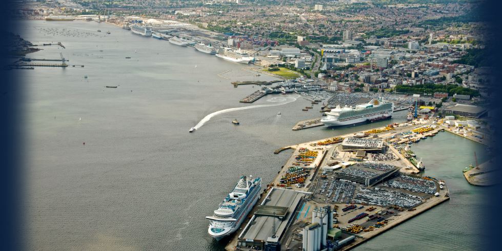
The world’s oceans, seas and coastal zones host a growing number of overlapping and at times competing uses and activities, including commercial, recreational, cultural, energy, scientific, conservation, defence and security interests. Associated with all these uses and activities is a myriad of data and information. If you want to understand the fundamentals of MSDI or need to develop a Data Infrastructure then talk to our experts who can offer help, advice and training on this subject. Read more

  • Case Study – EMEC improves Data Management
  • Data as Infrastructure
  • OceanWise Training courses
  • 10 Steps to Achieving Data Management Success
  • Dama (The Global Data Management Community)

What is a Marine Spatial Data (or Marine Information) Infrastructure or ‘MSDI’?

What is a Maritime Information Infrastructure (MII)?

Learn More

  • Marine Spatial Data Infrastructure
  • Data Management Top Tips

International Hydrographic Organisation

The work that OceanWise does in data management epitomises the way in which the hydrographic community should be moving in the twenty first century.

Robert Ward - President

ABP Southampton

A good overview of the huge topic of data management with lots of ideas to take back to the workplace and to start to implement.

Becky Conway - Principal Hydrographic Surveyor

Global Spatial Data Infrastructure (GSDI) Association

Thank you guys, the Marine SDI workshop discussion groups were brilliant. The explanations of what an SDI is all about were easily understood and the interactive break-out sessions helped people identify with their day to day challenges and how they might be addressed.

Roger Longhorn - Secretary-General

ABP Southampton

The 'Introduction to GIS' course provided by OceanWise was much more useful than the vendor specific course as it had a marine focus and related much more to the work I do day to day.

Sam Quilliam - Hydrographic Surveyor

Why OceanWise?

We are proud to be: Independent. Experienced. Innovative. International. Trusted.

ISO 9001ISO 14001ISO 45001cyberessentials certification

© OceanWise 2023. OceanWise Limited is an independent company specialising in marine environmental data acquisition, management, publishing and GIS.
Registrar of Companies of England and Wales No. 7206926 and Companies Registration Office Ireland No. 641571.

Terms & Conditions | Privacy Notice | Contact Us

OceanWise HelpBot

Still need help?