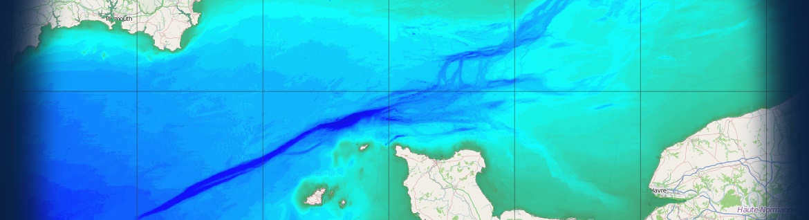
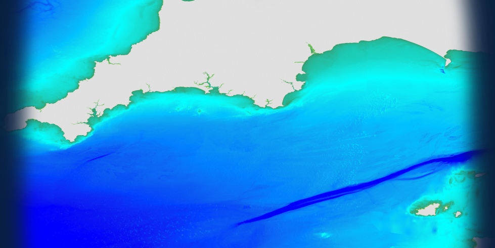
Marine Themes Digital Elevation Model (DEM)
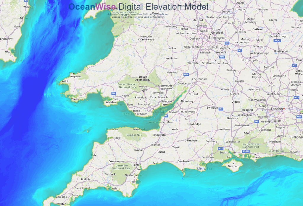
Multi-purpose high resolution, seamless bathymetry data
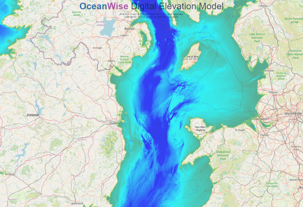
All available surveys are assessed and carefully selected in a deconfliction process.
The model can be read directly into GIS and offers many benefits including an attributed coastline, improving the accuracy of the model at the coastal boundary, and application of an improved interpolation method for a contiguous natural seabed shape.
Marine Themes DEM is available at two resolutions: a 1 arc second model supplied in 0.5 degree tiles and a 6 arc second model supplied in 2 degree tiles. A coverage layer is also provided which provides details of the data sources used in the model, ensuring the source of the data is always clearly defined. Take a look at our demonstration site or download our sample data, including our Marine & Coastal Data Products User Guide, to try it for yourself.
How to buy?
Commercial customers can purchase Marine Themes DEM and our other mapping products via our Licensed Partners.
We have a network of Licensed Partners who resell our data products. See our Find A Partner page or click on any of our mapping partners below to be redirected to their website.
If you are still not sure which dataset suits your needs best, please refer to our Data Buying Guide or see our Data FAQs for more assistance.
Click on below logos