

Resources
All OceanWise resources together in one place. Below you will find brochures, articles, videos, help guides and much more
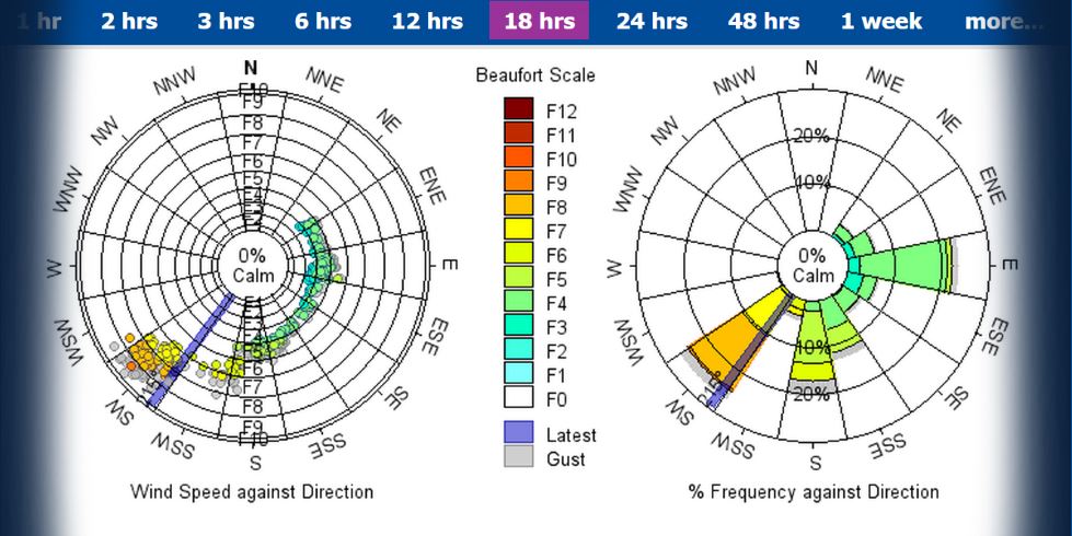
Environmental Monitoring
Products and services that allow you to monitor the environment and share that data easily and efficiently
Case Studies & Project Examples
-
- The UK Hydrographic Office Marine Environmental Monitoring Stations (MEMS) Framework
- Assisting Safer Pilotage Operations at ABP Southampton
- UK Dredging Delivering reliable real-time data to
support efficient dredging operations - Remote Activation Fog Signals for Peel Ports Group
- Peel Ports Service Level Agreement
- Maintaining and Updating the UK’s National Tide Gauge Network
- Design and delivery of a whole new system at the Port of Dover
- Flood Level Warning System for Network Rail
- Cowes Harbour Commision bringing weather to water users
- Harwich Haven
- ABP safe vessel passage in Southampton
- ABP Monitoring Network, a customer journey
- Itabo coal terminal
- Port of London
- Tidal display for Peel Ports
- Delivering Site Surveys and Installations remotely
- Bangladesh Inland Waterways Benefit from UK Environmental Monitoring Data Platform
Help Guides
Demo Sites
Press Releases and Articles
- ABP Southampton embarks on new Current Monitoring
project with OceanWise - Expanding your horizons with real-time wind data
- Safe vessel passage at ABP in Southampton
- Environmental monitoring Data from anyone to anywhere
- Marine Pilotage access to marine data on PPU’s
- Turbidity – looking under the waterline
- Marine Monitoring – ‘The Bigger Picture’
- Meet the Smart Port
Brochures and Product Data Sheets
- Marine Environmental Monitoring Systems Brochure
- Monitoring overview Brochure
- Monitoring overview Brochure (French version)
- Port-Log Data Sheet
- Ip.buffer (telemetry) Data Sheet
- Portable Environmental Monitoring System
- Advanced Waves Data Sheet
- Enclosures
- Smarter Environmental and Conservancy Management
- Site Installations, Servicing and Maintenance
- Service Level Agreements Datasheet
- Water Level Radar C23 Data Sheet
Build me a System – create your own monitoring system
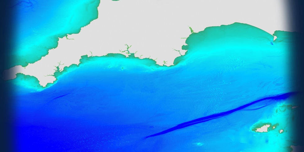
Mapping (data)
Range of intelligent marine and coastal mapping products
Case Studies & Project Examples
Help / User Guides
- Buying Guide
- The OceanWise Mapping Journey
- Understanding scale
- FAQ’s
- Vector feature catalogue
- Data Originators
- Online services terms and conditions
- Mapping standard terms and conditions
- Mapping Products User Guide
- Understanding why data of
different scales appear within a single zoom level of a WMTS
Demo Site
Press Releases & Articles
- Meet the innovator mapping the oceans – Connected Places Catapult
- OceanWise UK lead for latest European Bathymetry Digital Terrain Model
- Students and Researchers benefit from marine mapping (EDINA)
- Vattenfall procure Raster Charts XL
- OceanWise data supports Welsh Government Marine Plans
- Marine Data: Costs and Benefits
- Demand for high detailed chart data
- The future of marine data
- Making marine geodata fit for purpose
Brochures
Compliance
Applications, services and training to meet maritime safety obligations and achieve data governance
Case Studies & Project Examples
Help Guides
Brochures and Product Data Sheets
Press Articles & Press Releases
<id=”SampleData”>Sample Data