


How ‘Turbidity’ is now crucial for measuring the health of our coastal waters – by Amy Thompson
Download the full pdf version here
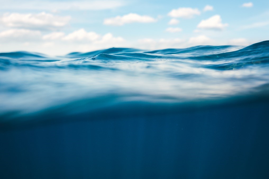
Taking care of our oceans is becoming increasingly important with measuring and monitoring our environment taking centre stage. In this article we look below the water line and discuss turbidity, which is now arguably a crucial corner stone for measuring the health of our coastal waters.
What is Turbidity and why is it important?
‘Turbidity’ is a term used to describe the volume of particles within a water sample. These particles can be virtually any size, and can be biological, chemical or physical. The number of particles within the water impacts on how light is absorbed and scattered – high turbidity (i.e a high number of particles) means that more light is absorbed by the water, giving it a cloudy appearance.
Turbidity is important for many reasons: Biological turbidity can be an indicator of the number of microorganisms within the water, which could be naturally occurring such as various species of phytoplankton (which are crucial for the health of our oceans) or they could be more malignant – indicating that an area has a high amount of agricultural runoff from the land, encouraging harmful algal blooms to grow and use up vital resources.

“turbidity can be an indicator of the number of microorganisms which are crucial for the health of our oceans.”
Some chemical compounds can form cloudy dilutions when mixed with water, so can be an indicator of the presence of dangerous compounds. More simply, physical turbidity (for example, the amount of suspended silt or clay) can be monitored either periodically or in real-time and used to assist with dredging activities. Monitoring turbidity can also help to understand the impact of physical structures on the flow of sediment around a port or harbour, for example.
How might Turbidity sensors be used?
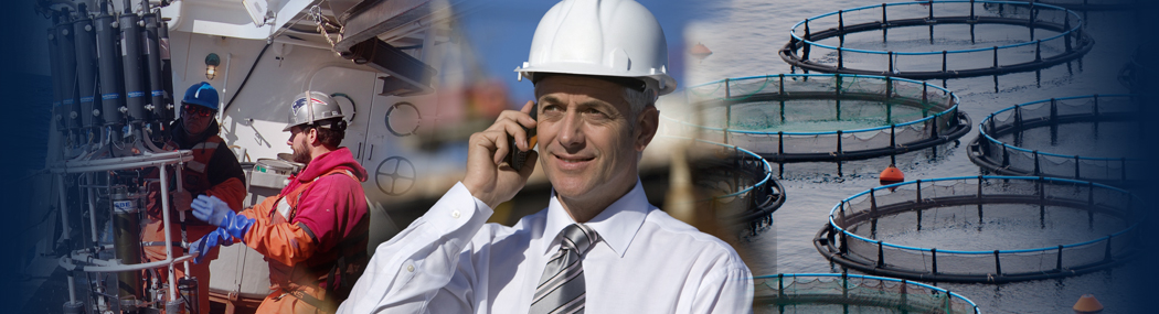
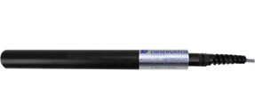
Sensors can be used by a wide variety of users for a wide variety of projects –anyone who needs to understand what is going on below the water’s surface should be using Turbidity sensors to do this.
Project Example;
Recently OceanWise undertook a turbidity project for a valued harbour customer which involved turbidity sensors strategically placed at 4 different locations. Each of these sensors continually monitor and transmit data, giving a near real-time data feed. This data is analyzed and used for a variety of things including an annual sediment budget study.
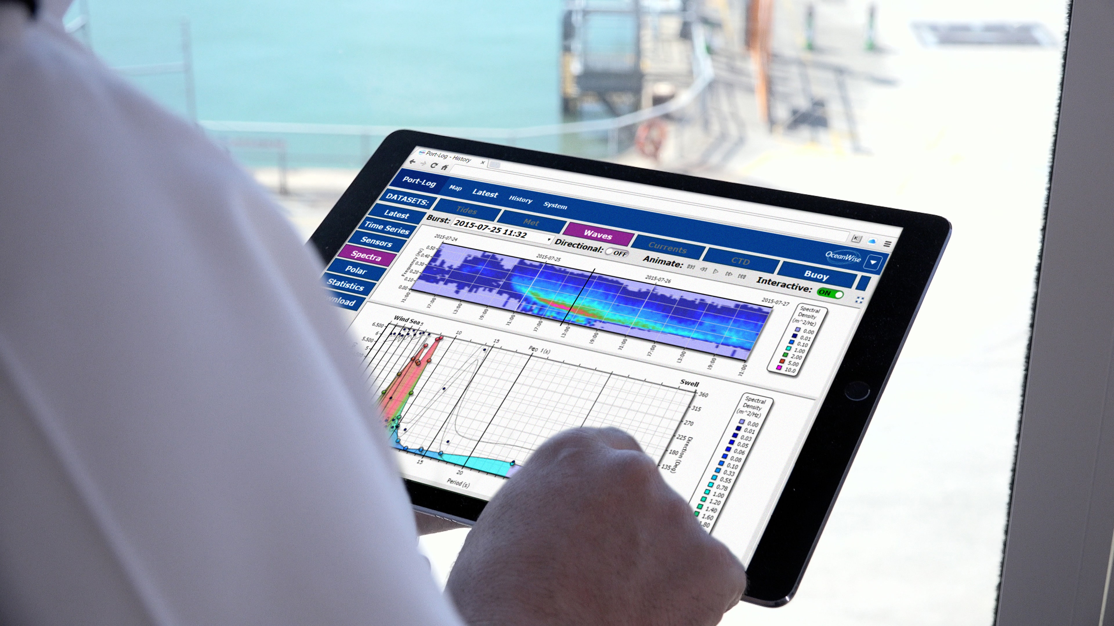
The turbidity data is displayed via Port-Log, the OceanWise environmental data platform, in the same way as any other environmental monitoring parameters (such as wind, tide, waves, air quality etc.) and can be viewed, shared and downloaded easily for future analysis. Having a real-time data feed is of great value as it means the customer can quickly assess when/if the sensors need cleaning or identify problems quickly, eradicating the often-frustrating situation of retrieving a self-contained unit and finding that there’s an issue with the data, after the project has finished!
Any turbidity sensor, much like any sensor which is deployed under the water, needs to be regularly maintained and cleaned (please see the free OceanWise help guide on systemised maintenance). This is especially true during warmer spring and summer months as underwater sensors attract more marine micro-organisms, which can impact the sensor and data quality collection.
What is the future?
At OceanWise we believe that as environmental regulations increase our understanding of the marine environment will need to improve so monitoring and measuring Turbidity will become increasingly common place. Just as we have seen with Air Quality, as more ports and marine authorities embark on environmental monitoring programmes or environmental stewardship, incorporating turbidity measurements within an environmental monitoring system will become an essential part of the data toolkit. It is already essential that we understand the impact of human activities on the marine environment and real-time monitoring of turbidity (or chemical/biological parameters) should become an essential aid to anyone working in or studying the marine domain. The more data that we collect, the better equipped we become to help to inform and assist future best practice therefore safeguarding the oceans for future generations.
About the Author

Amy joined the OceanWise team in 2019 as a Junior Oceanographic Data Engineer supporting both the Technical and Operations team. Amy graduated from the University of Southampton in 2017 with a Masters degree in Oceanography. Amy has emersed herself in many projects since joining OceanWise including taking a lead role in our recent Turbidity projects with a number of Port and Harbour customers.
Download the full pdf version here
Back to News