


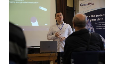
Treating Data as Infrastructure (Open Data Institute)
Presented by Leigh Dodds Leigh gave an interesting presentation which took us on a journey into what data is and how by seeing it as infrastructure (as you would with our road network or utilities for example) we can start to realise its potential. Leigh theorised that data is an important asset for the UK […]
Read more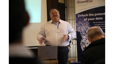
Where Land and Sea Collide (Europa Technologies)
Presented by Warren Vick During his presentation Warren described, and demonstrated using several examples, the unique challenges of joining land and sea from a cartographic perspective. His insightful presentation culminated in him describing his goal to “develop a vector-based interleaved map, preserving as much cartographic convention as possible, and deploying it as a service”. […]
Read more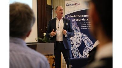
A Road Map for Change (Geospatial Commission)
Presented by Martin Jones In this presentation we learnt about the Geospatial commission – it’s mission, connections, value and projects. We learnt how the commission received an overwhelming number of responses to its call for evidence earlier this year (receiving over 200 responses). The team are now working hard on disseminating the responses and prioritising […]
Read more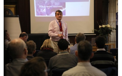
Smart Ports – A Myth or Reality? (Nick Lambert Associates)
Presented by Nick Lambert Nick gave us an inspiring talk highlighting the value and size of the blue economy. We learnt that 60-70% of our oceans are left under no jurisdiction at all and that whilst plastic pollution is a very important issue that needs urgent action, our oceans are about so much more. Essentially […]
Read more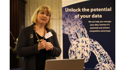
Modelling Vulnerability in the Caribbean (Environment Systems)
Presented by Katie Medcalf Katie gave us a great presentation on how Environment Systems undertook the important project of mapping the vulnerability of 4 UK overseas territories in the Caribbean which are prone to natural disasters. As climate change, changing sea levels and destruction of beaches and marine features increases, it has never been more […]
Read more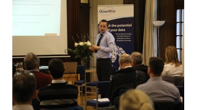
The Impact of GIS in Peel Ports (Peel Ports)
Presented by Jonathan Craig Jonathan gave us a detailed presentation on the huge strides that have been made at Peel Ports in relation to GIS. The projects that they have undertaken such as hydrographic chart production, passage plan production and bathymetric S-57 charts have all lead to improved efficiencies and smarter working within the group. […]
Read more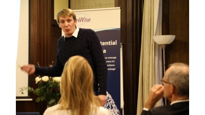
Developments in Environmental Monitoring (OceanWise)
Presented by Robert Proctor Robert gave us some insights into the development of environmental monitoring in ports and harbours. We heard about new projects being undertaken by the OceanWise team both in Ghana and closer to home with portable monitoring solutions for dredgers. We also heard about Air Quality monitoring which has become an important […]
Read more