


Meet the innovator mapping the oceans
Written by Mike Walter Feb 2024 / Connected Places Catapult
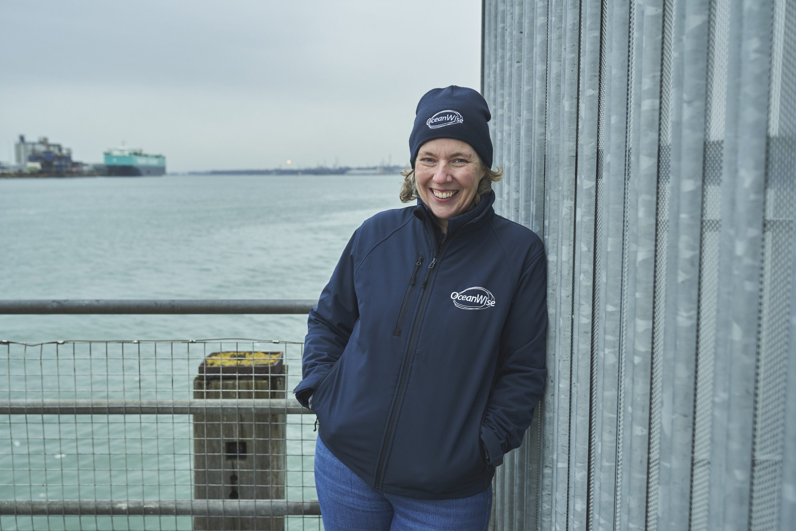
Our Managing Director, Caroline Levey has combined her passions of sailing, geography and data to help introduce new methods of maritime navigation and port management.
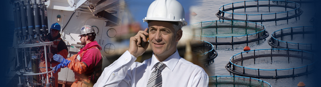
Map lovers looking to find new places to walk, cycle or drive have a plethora of digital illustrations of the land to study; but similar representations of the sea are far harder to come by. Mapping specialist and sailor Caroline Levey is among those helping to make it easier to navigate the maritime environment, and understand what lies beneath the waves.
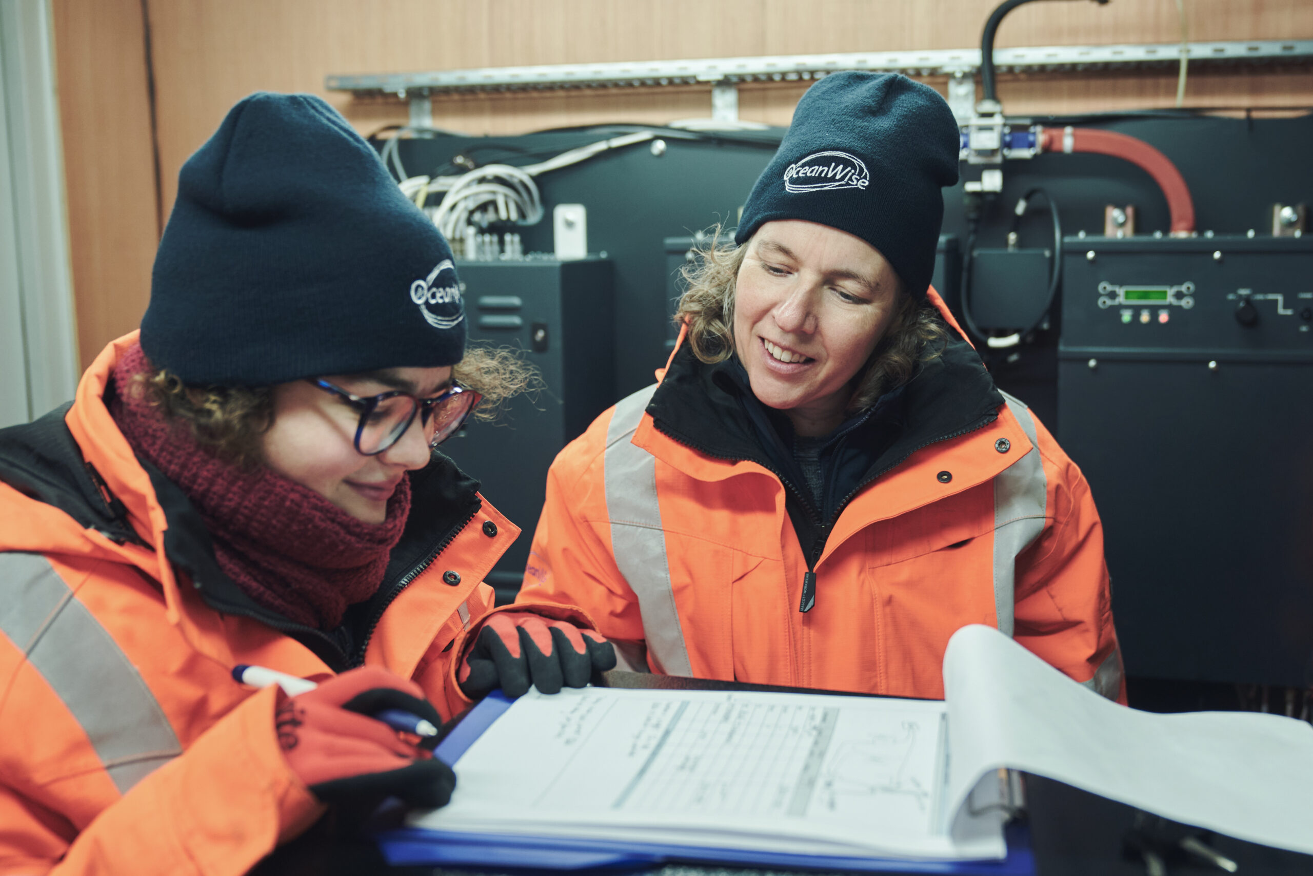
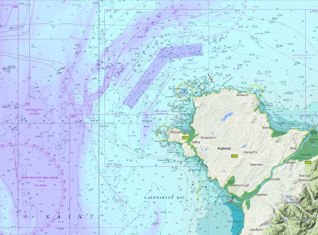
Caroline is a co-founder of OceanWise, a company which has developed a suite of interactive marine and coastal maps and data sources. Features include hidden assets such as shipwrecks and undersea cables, the geology of the sea bed and real-time monitoring of tides, winds and waves.
The maps are used by harbour masters to monitor environmental conditions and infrastructure providers to identify where best to place new assets such as wind farms.
OceanWise recently took part in Connected Places Catapult’s Maritime Accelerator and has now achieved the highest score of nine on the Technology Readiness Level, meaning their products have proven their worth.
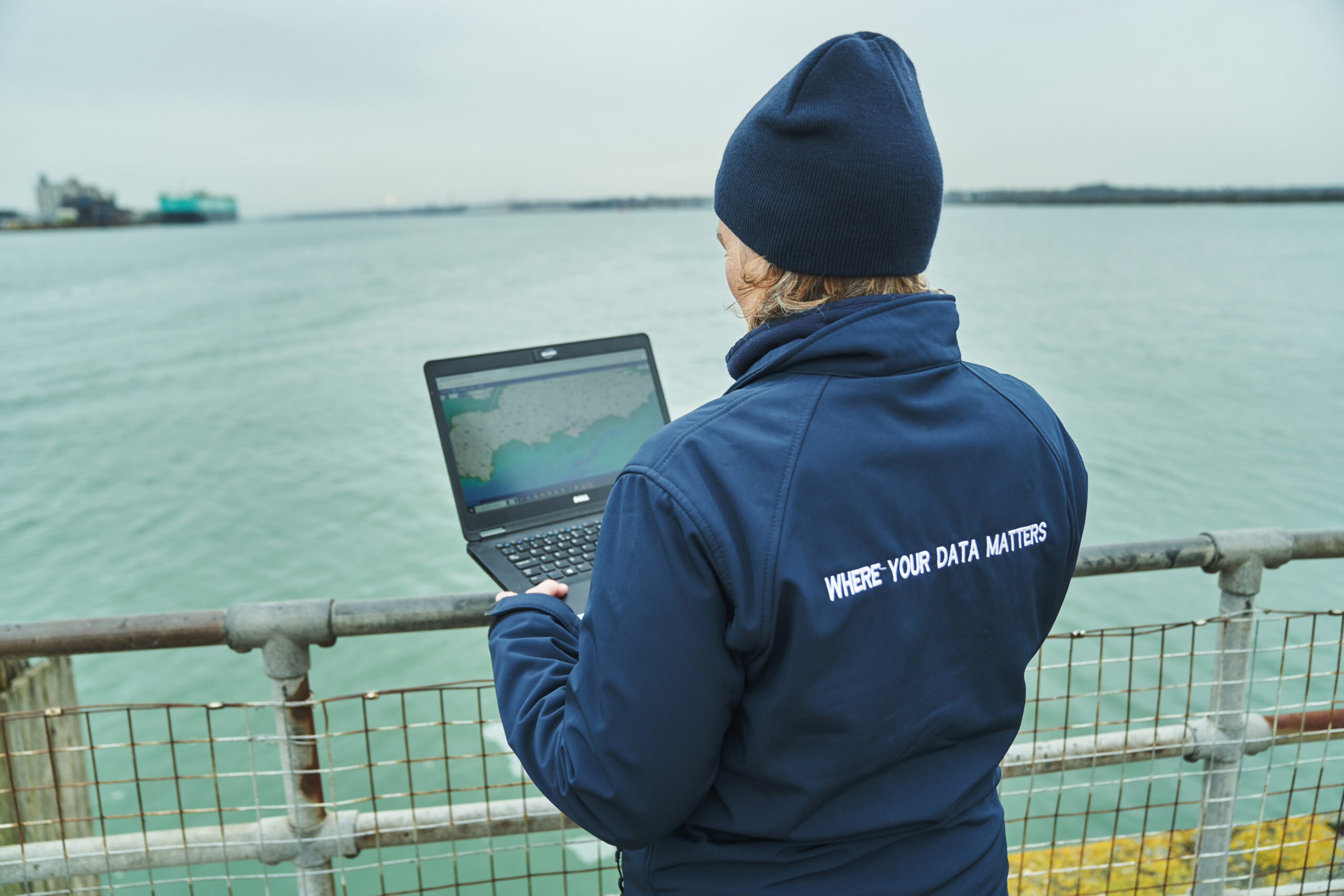
Caroline says her company acts as a “distribution channel for maritime information” and describes the firm as one of the “masterminds of the sea”. Products include mapping data product Marine Themes Vector and environmental monitoring software Port-Log.
Ten years ago this aim may have been considered far-fetched, but the technology has moved on. Companies collecting the data make it available to firms like ours and the more data that becomes available, the more detail we can put into our products.”
As well as helping maritime clients operate safely or do their jobs more easily, the products could also contribute to a collective effort to reduce carbon. “One of our clients wanted to better understand weather conditions at a particular location so they could avoid sending vessels out when it wasn’t safe.
“By knowing the bad conditions, the vessel journey did not need to take place therefore reducing emissions for what would have been a wasted journey.”
A lifelong love of sailing
Caroline Levey has always had a passion for the sea. She started sailing dinghies at six and dreamt of becoming a professional sailor, “but was never quite brave enough to go down that route”.
She studied geography at the University of Plymouth and spent a year in Canada where she discovered geographical information systems (GIS), combining her interests of mapping and computing. On returning to the UK she enrolled on a Masters course in the discipline at the University of Nottingham. Her first job was at the Port of London Authority as a GIS Technician.
“I helped the hydrographic team produce charts of the Thames and tried to get more people in the business to use GIS. Taking digital copies of paper charts, I used GIS tools to create customised maps and persuaded colleagues they didn’t need to draw on paper charts any more.”
Caroline later developed an online version of the maps linked to a database, allowing more people associated with the port to use them and see, for instance, the depth of water across a berth. They also allowed pilots who bring ships into port to access useful information themselves, without having to ask the hydrographic team.
Helping to safely steer aeroplane wings
Caroline later moved to maritime company Metoc to help develop its GIS capabilities and met her future business partners Mark Jonas. Together they created a maritime planning system for Airbus to allow the wings of then new A380 aircraft to be shipped safely on a barge between the Airbus factory at Broughton in north Wales and Anglesey.
Such a large and heavy shipment required great care when navigating the River Dee: at high water the barge struggled to pass beneath bridges, and low water presented a risk of hitting the river bed. The mapping system integrated tidal data to give the client a ‘traffic light’ system of when it was safe to proceed and when to slow, or wait.
Caroline later worked on a joint venture with the UK Hydrographic Office alongside Dr Mike Osborne – another co-founder of OceanWise – and formed maritime mapping company SeaZone Solutions, which licensed data to create products for non-navigational use for those involved in environmental impact assessments or installing infrastructure such as under sea cables.
A company acquisition was in the offing, with staff expected to relocate elsewhere in the UK, so Caroline, Mark and Mike left to found OceanWise in 2010. “The three of us were settled in southern England, with partners with jobs or children at school,” Caroline says. “We all took the decision to brave it and go it on our own, and spent the first two years working from dining room tables.”
Soon they developed their Marine Themes Digital Elevation Model product that provides a detailed elevation model of sea beds around the UK, and secured a contract with a Government department to build and supply it.
Displaying marine and land features on one map
Further products included digital nautical charts with the land removed, featuring rich detail of the marine environment and allowing it to be combined with detailed land data; something not previously done before. “We thought this was ridiculous, because professionals who work in coastal zones want to see detail of both the land and sea,” she says.
Another system called Port-Log allows a harbour to safely operate by showing all their environmental monitoring data in one place, using data from tide, wave and weather sensors. Many ports would display various systems on different screens, so Caroline and her team decided to put it all together into a single display.
“It allows real time decision making, such as ‘is it safe to get my ship in?’ or ‘are the waves too great for a pilot to board a ship?’. Four in five of the UK’s major ports now operate the software.
Caroline also used her GIS skills in the decommissioning of a North Sea oilrig, when the rig was brought to shore for recycling near Middlesborough. Part of an inland waterway not accurately charted previously was surveyed and dredged, to provide sufficient draught for a very large vessel to bring the rig into the port. OceanWise then produced an electronic navigational chart using the very latest data for those managing the operation.
“I spent the afternoon of the sail checking to see if it had made the news,” remembers Caroline. “It hadn’t, so I knew everything had gone okay.”
Moving forward, she is helping to develop a version of Port-Log suited to smaller ports, and is keen to see how data about sea level rises and weather changes over several years could help inform future port operations.
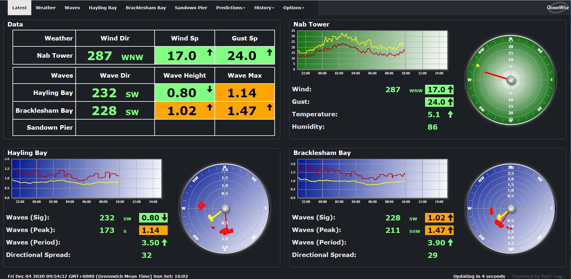
Examples of maps and displays produced by OceanWise
Contacts made through the Catapult
Caroline and her colleagues applied to join Connected Places Catapult’s Maritime Accelerator for help in delivering new products, and says some great contacts were made with other companies.
“It was a very interesting experience and great to be able to pitch our ideas. Even though we are self-funded and built the business ourselves, it was good to be guided on how we market ourselves and explain our value proposition.
“Our senior management team was exposed to training they would not have got elsewhere.”
Caroline credits the complementary skills of her two founders as helping to drive the company’s success. “Mike’s got the vision, Mark’s got the technical know-how and I’m a people person. Between the three of us, we figure it all out.”
She describes being an entrepreneur as “brilliant, but highly stressful”, adding that her second child was born five days before the company’s first board meeting.
“I still love sailing, but one of my pet passions now is data management,” she adds. “If people manage their data properly, they can do so much more with it and their businesses will benefit.
“Maritime is probably 20 years behind some other sectors in terms of technology, but it is catching up.”
Discover more about how technology is improving maritime at the Connected Places Summit on 20-21 March.