Oceanwise Logo
LinkedIn Logo Twitter Logo
Log into Port-Log.net
Contact Page
+44 (0) 1420 768262
    • Home
    • About
      • About Us
      • News & Views
      • Events
      • Newsletters
      • Partners
      • Customer Case Studies
      • Professional Bodies
      • Our Team
      • Our Sustainability and Environmental Goals
      • Careers
      • Contact Us
    • Sectors
      • Overview
      • Ports and Harbours
      • Maritime Pilotage
      • Offshore Renewables
      • Governments and Agencies
      • Customer Case Studies
      • Data as Infrastructure
    • Software
      • Overview
      • Productivity Tools
      • Dredging and Licensing
      • Hydrographic Survey
      • Asset Management System (AMS)
      • Environmental Samples
      • ENC Production
      • Spatial Data Management
    • Monitoring
      • Overview
      • Data Management and Display
      • Port-Log
      • Consultancy and Advice
      • Design and Integration
      • Installation and Maintenance
      • Environmental Conditions
    • Training
      • Our Courses
      • Data Management
      • Data Management for Ports
      • Data Management, Governance and MEDIN toolset
      • Introduction to Change Management
      • Capacity Building
      • Technical Training
      • Product Training
      • Our Workshops
    • Mapping
      • Overview
      • Marine Themes Vector
      • Marine Themes DEM
      • ENC Web Map Service
      • Raster Charts
      • Mapping Support
    • Partners
      • Overview
      • Become a Partner
      • Find a Partner
      • The OceanWise Resource Hub
    • Support
      • Newsroom
      • Downloads
      • Portal
      • Support
      • Glossary of Terms
      • Contact Us
      • Terms and Conditions
banner
Simplify your approach and improve decision making and data management

Simplify your approach and improve decision making and data management

Tools to manage data and assets, provide spatial awareness, and streamline processes

Simplify your approach and improve decision making and data management

Simplify your approach and improve decision making and data management

Tools to manage data and assets, provide spatial awareness, and streamline processes

    Poor data management can put your operations at risk. Read our top tips to achieving marine data management success now.

    By completing this form, you consent to receive marketing and our newsletter emails from OceanWise. To opt out, please email info@oceanwise.eu, or click "unsubscribe" on the email you receive from us. We will not share your contact details with any third party.

Spatial Data Management

OceanWise > Software Overview > Spatial Data Management
Realise the full benefits of using Geographic Information Systems
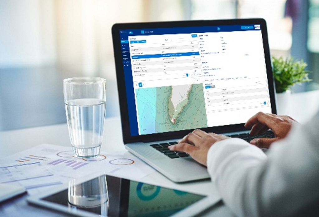
Our team are here to help! Our unique experience in the marine domain (see our marine mapping story here), expertise in marine data and marine GIS means that we are perfectly placed to help you realise the full benefits of using Geographic Information Systems whether it be it open source like QGIS, or using a proprietary software programme like Cadcorp.
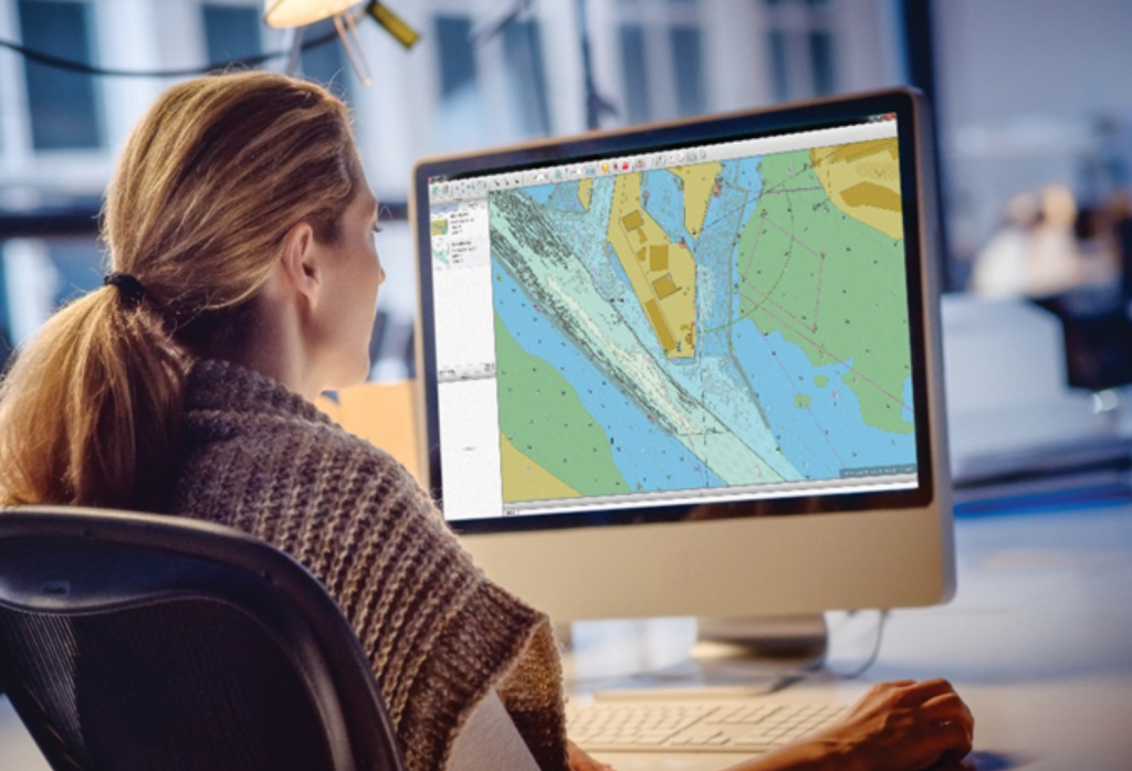
As our training and mentoring is specifically for those working in the marine environment and its challenges, we can help you apply GIS to manage and manipulate your land, marine and environmental data while implementing best practice.

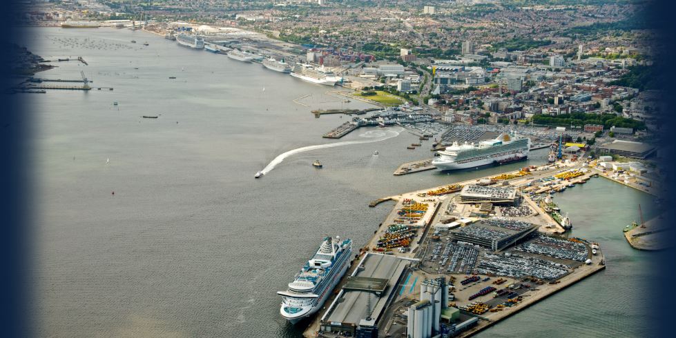
See our case studies for some examples of how we have helped our customers get the most out of their GIS: The European Marine Energy Centre (EMEC) improves Data Management and GIS Capability, ABP Port of Southampton benefits from GIS, Bathymetric and Port ENCs for Peel Ports Pilots.


Mapping and GIS Services

If you don’t have access to GIS we can create mapping outputs for your specific need, such as ENCs or other maps for critical projects or operations. We will build the outputs using our data management solutions, so at the point when you decide to take GIS in house the data can be easily transferred.

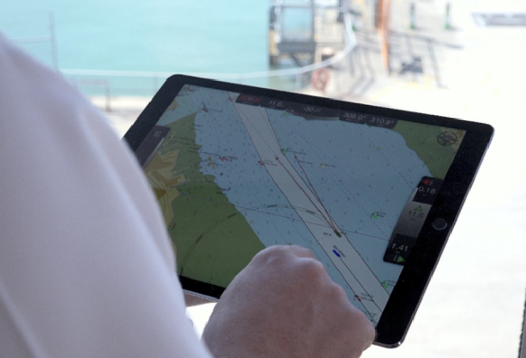
We have delivered ENCs for ports where standard navigational charts have not provided the crucial navigational detail necessary for planning and decision-making during passage. We can take your high resolution bathymetry, accurate land mapping data and central source of Aids to Navigation to create a Port ENC – a higher resolution equivalent of a standard hydrographic office published ENC. These are provided in formats that can be easily uploaded into Portable Pilot Units, or other key systems, such as VTS.


Data Policy and Management

To make the most of GIS, you need to have a sound understanding of data and information management policy. We provide advice, guidance, training and mentoring on data governance ‘best practice’, ensuring that your data is fit for purpose and its value to your organisation is maximised and maintained.

You can find out more about data management by visiting our Capacity Building, Training and Mentoring Services page.


Training and Mentoring

Most GIS software is developed and targeted towards managing terrestrial assets. We target our training and mentoring to those working in the marine environment, with its own specific challenges. As marine data experts, we have worked with various GIS platforms, specifically Esri, Cadcorp, MapInfo and QGIS. We can help you apply these systems to manage and manipulate marine and environmental data while implementing best practice. See our GIS Training courses here.


Productivity Tools

Our suite of productivity tools can simplify both complex and common tasks within your GIS, making it an even more effective and powerful tool that saves you both time and money, and creates real value. Ocean Database underpins the productivity tools as a centralised database to help you manage all your marine and environmental data for use in your GIS. See our range of productivity tools here.

What is your data challenge?

Take the test, and find out how you could save time and money by modernising your approach to data management

What is your data challenge?

Links & Downloads

    • Productivity Tools – Maritime Toolbar and Workflow Extensions
    • Dredging and Licensing Management
    • Hydrographic Survey Management
    • Environmental Samples Management
    • Spatial Data Management
    • Electronic Navigational Charts (ENC) Production
    • Ocean Database
    • ABP Port of Southampton benefits from GIS
    • What Is Your Data Challenge?

What Our Customers Think

The specialist maritime tools and expertise provided by OceanWise are now integral to our operations.

ABP Southampton

The European Marine Energy Centre (EMEC)

OceanWise provided EMEC with valuable support in managing our diverse datasets

David Darbinyan - Senior Metocean Engineer

Why OceanWise?

We are proud to be: Independent. Experienced. Innovative. International. Trusted.

ISO 9001ISO 14001ISO 45001cyberessentials certification

© OceanWise 2022. OceanWise Limited is an independent company specialising in marine environmental data acquisition, management, publishing and GIS.
Registrar of Companies of England and Wales No. 7206926 and Companies Registration Office Ireland No. 641571.

Terms & Conditions | Privacy Notice | Contact Us

OceanWise HelpBot

Still need help?
This website uses cookies to ensure you get the best experience... Find out more